
Cape Horn Loop Trail
March 27th was sunny and warm, and with weather like that you just know the gorge is going to be hopping with itchy hiker feet. Northwesterners love their hikes and I’ve heard about the Cape Horn Loop Trail [AllTrails] for years without actually ever visiting it. I’ve had half a dozen failed attempts, though I can’t blame that on the difficulty level. Its because I keep wanting to be there when the entire loop is open, though that seems to just never work out due to protection of the peregrine falcon nesting. (Lower section is closed from Feb 1 to July 15.)
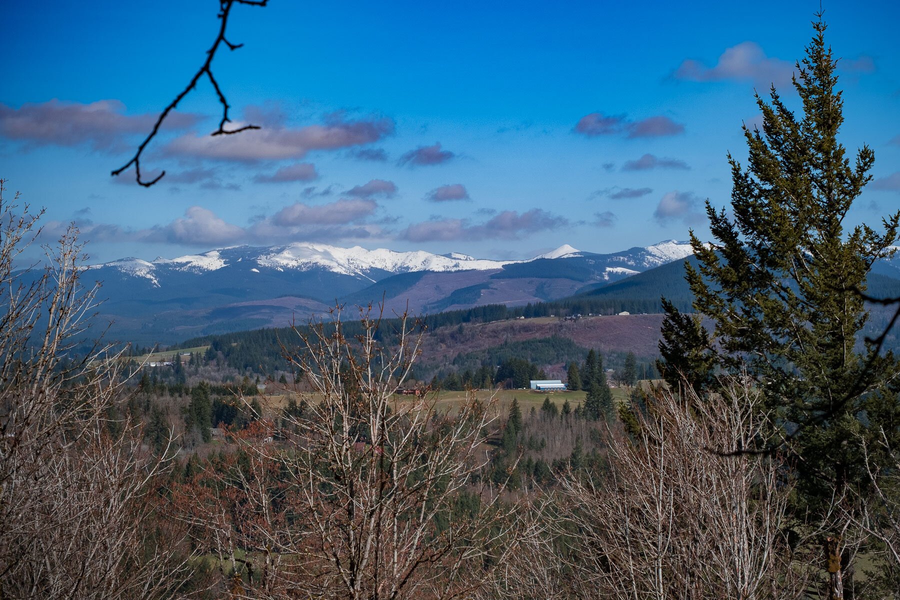
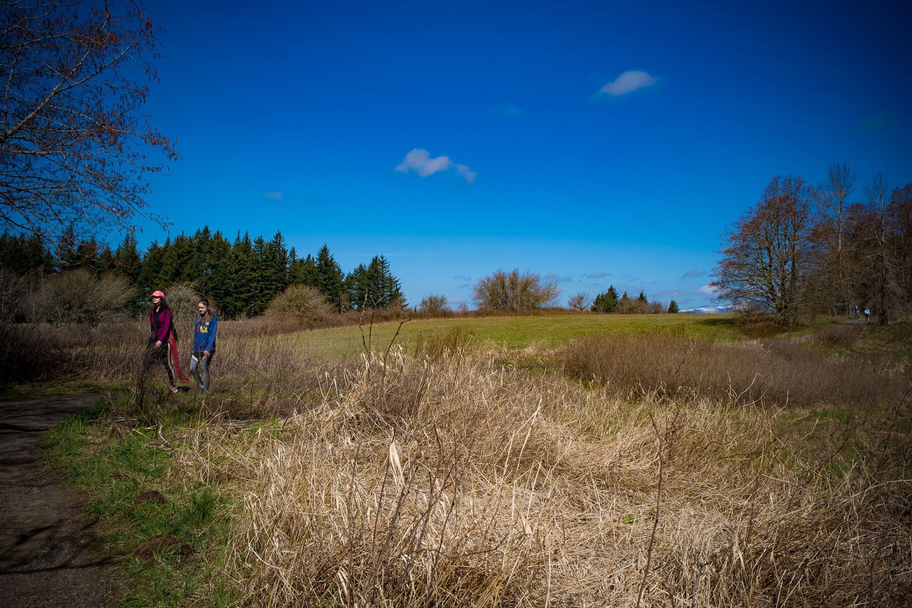
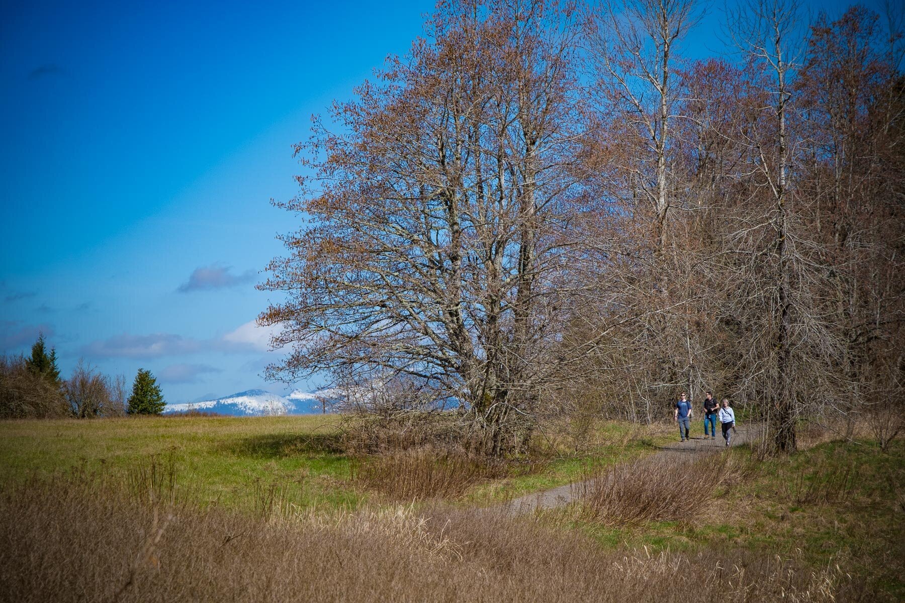
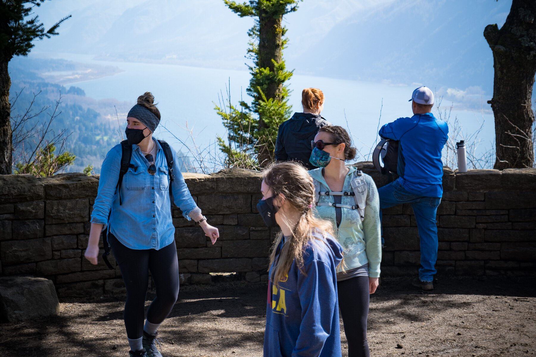
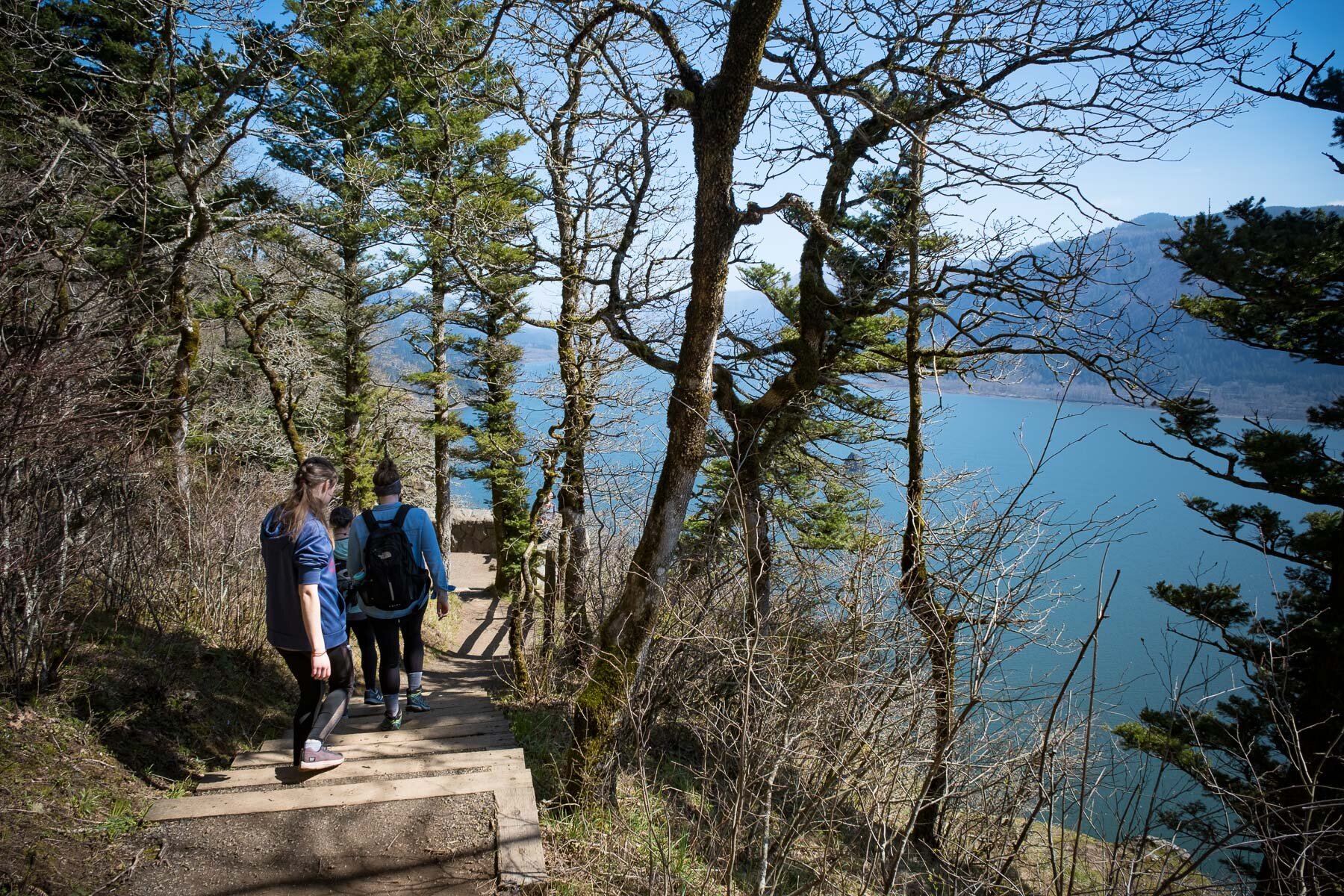
Some friends and I met up at the full parking lot at 10AM. Luckily, I replaced an early hiker just leaving with his car who beckoned me over to take his spot and once me and my hiking companions were all gathered we set off ascending the switchbacks until we had a lovely view of the snowcapped Silver Star Scenic Area to the north.

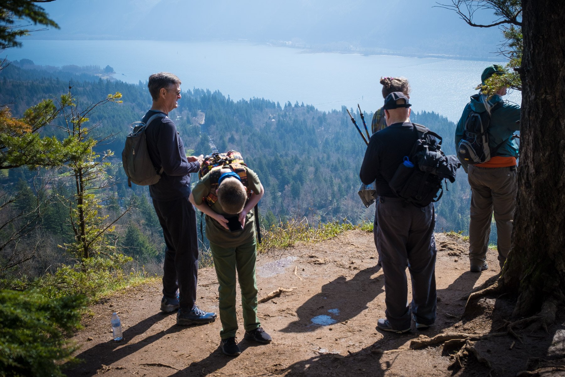
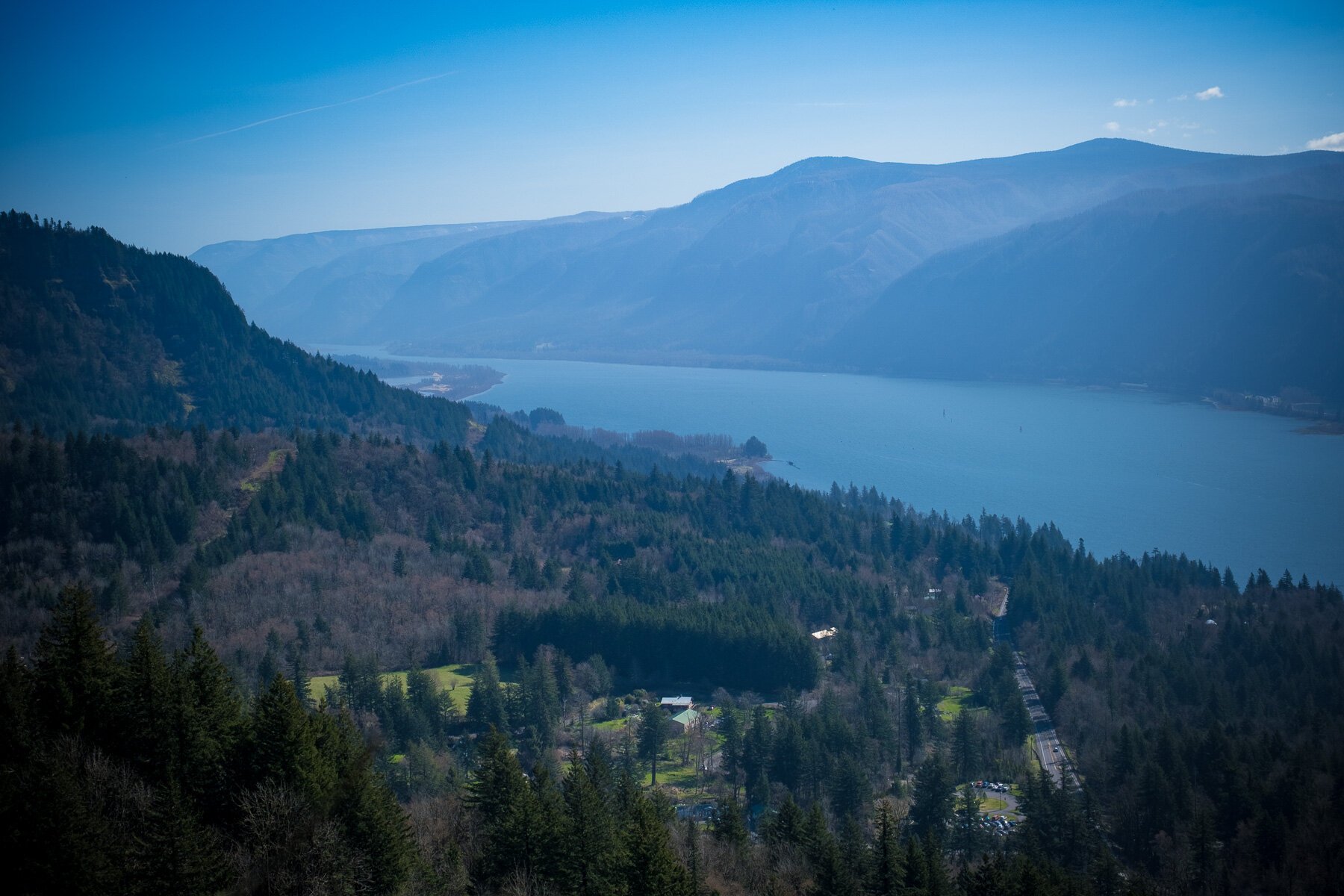
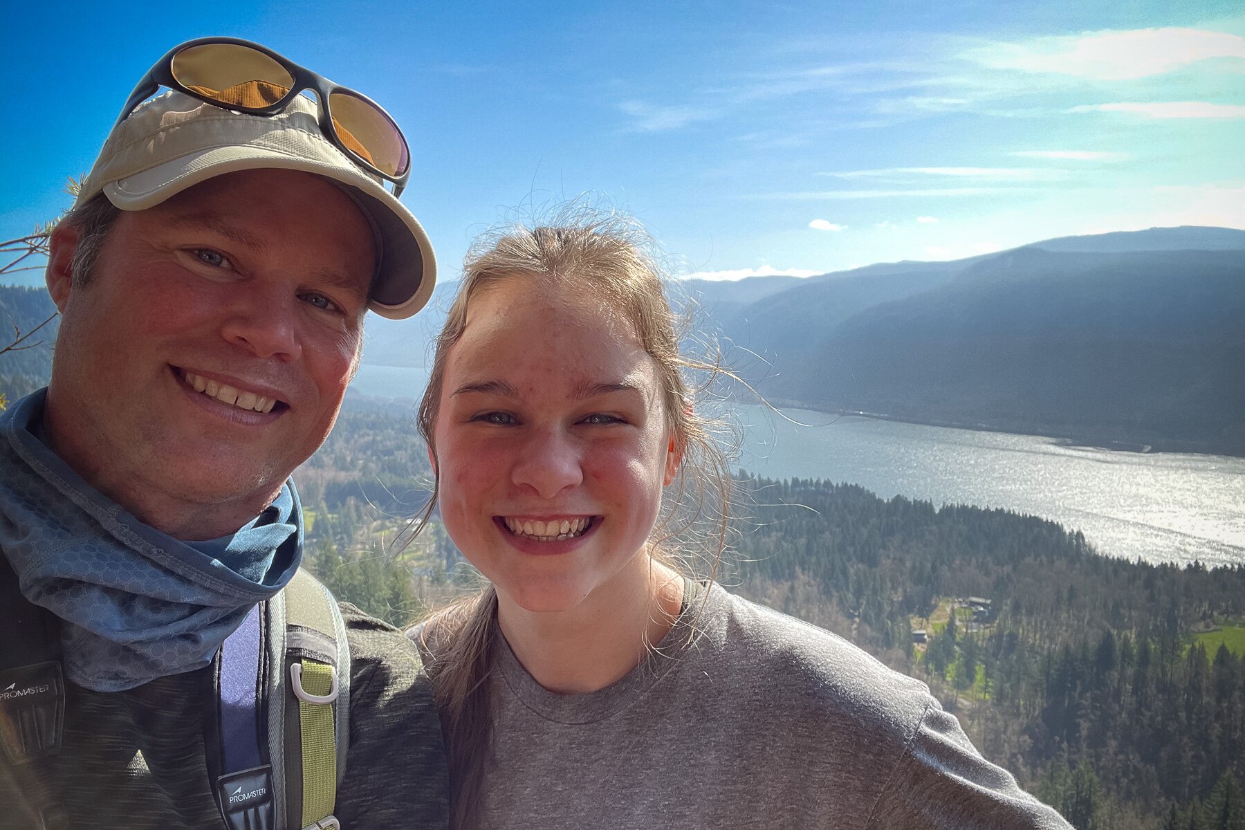
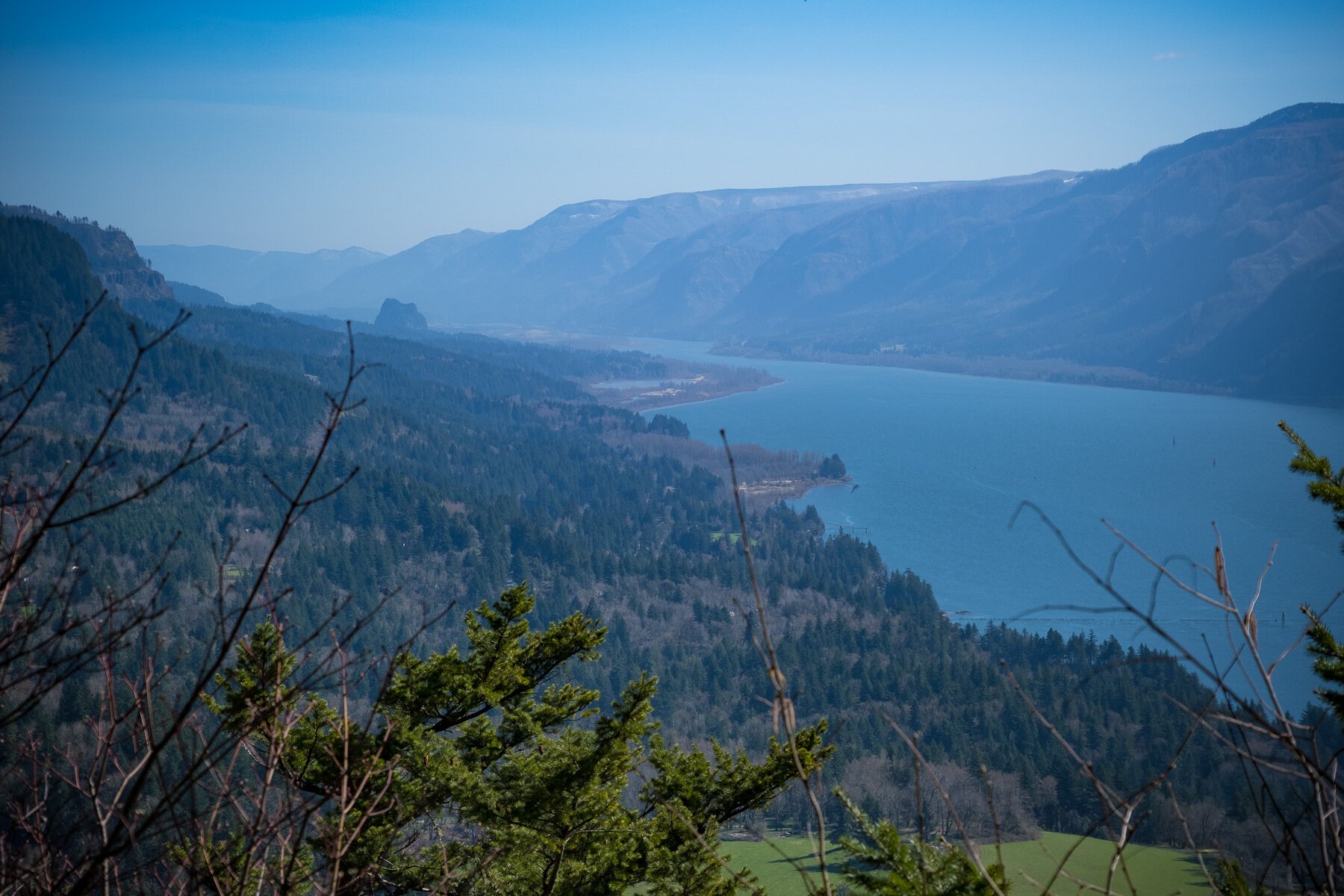
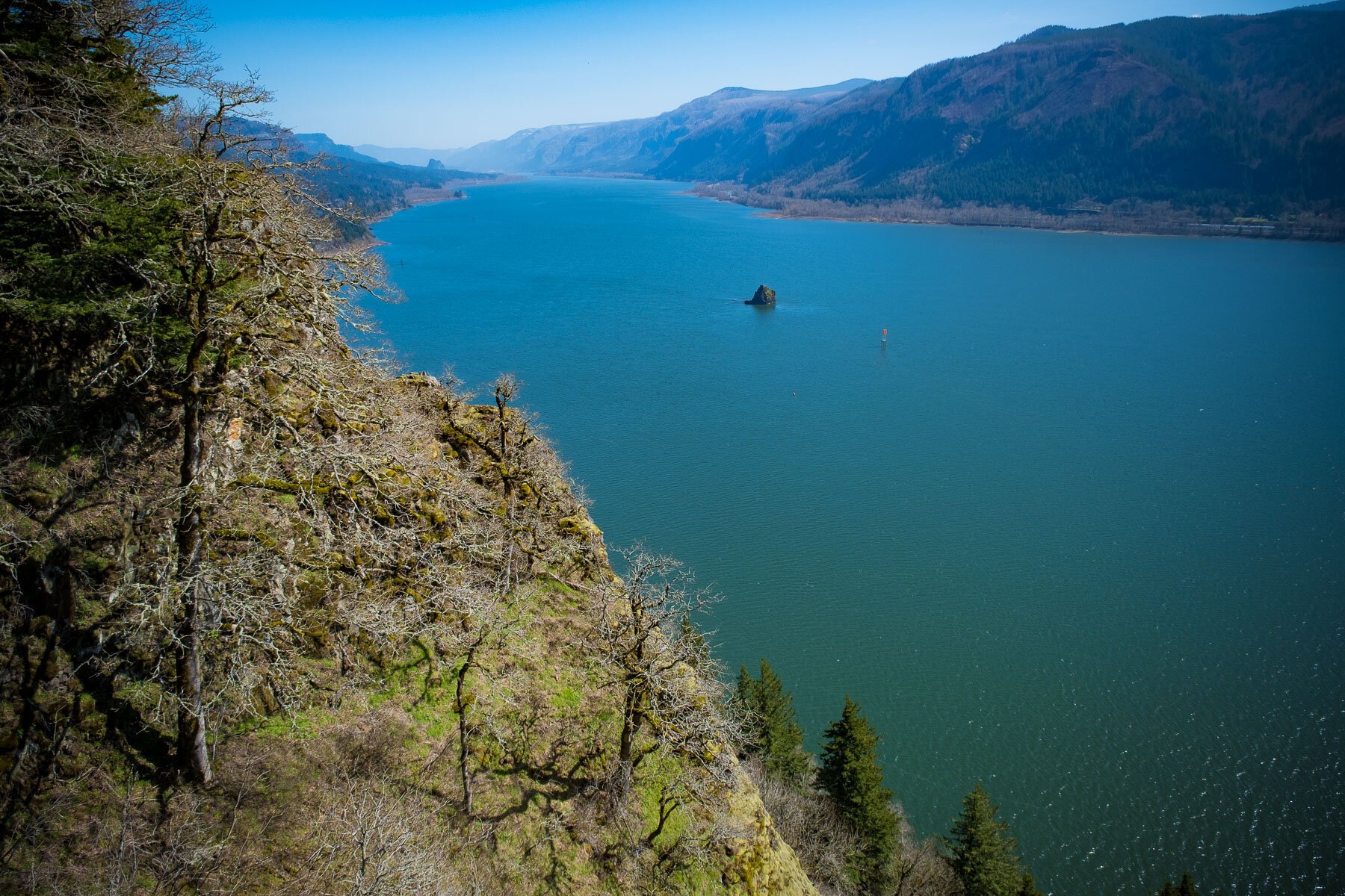
From there we kept a steady climb until the 1.4 mile marker from the parking lot until we reached our first viewpoint of the Columbia River. The second, just another .4 miles along, was equally breathtaking.
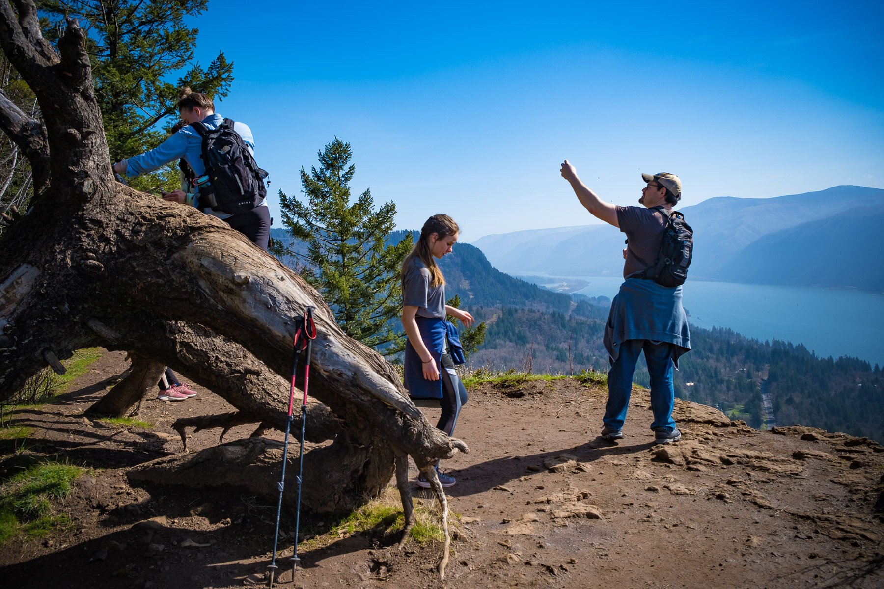
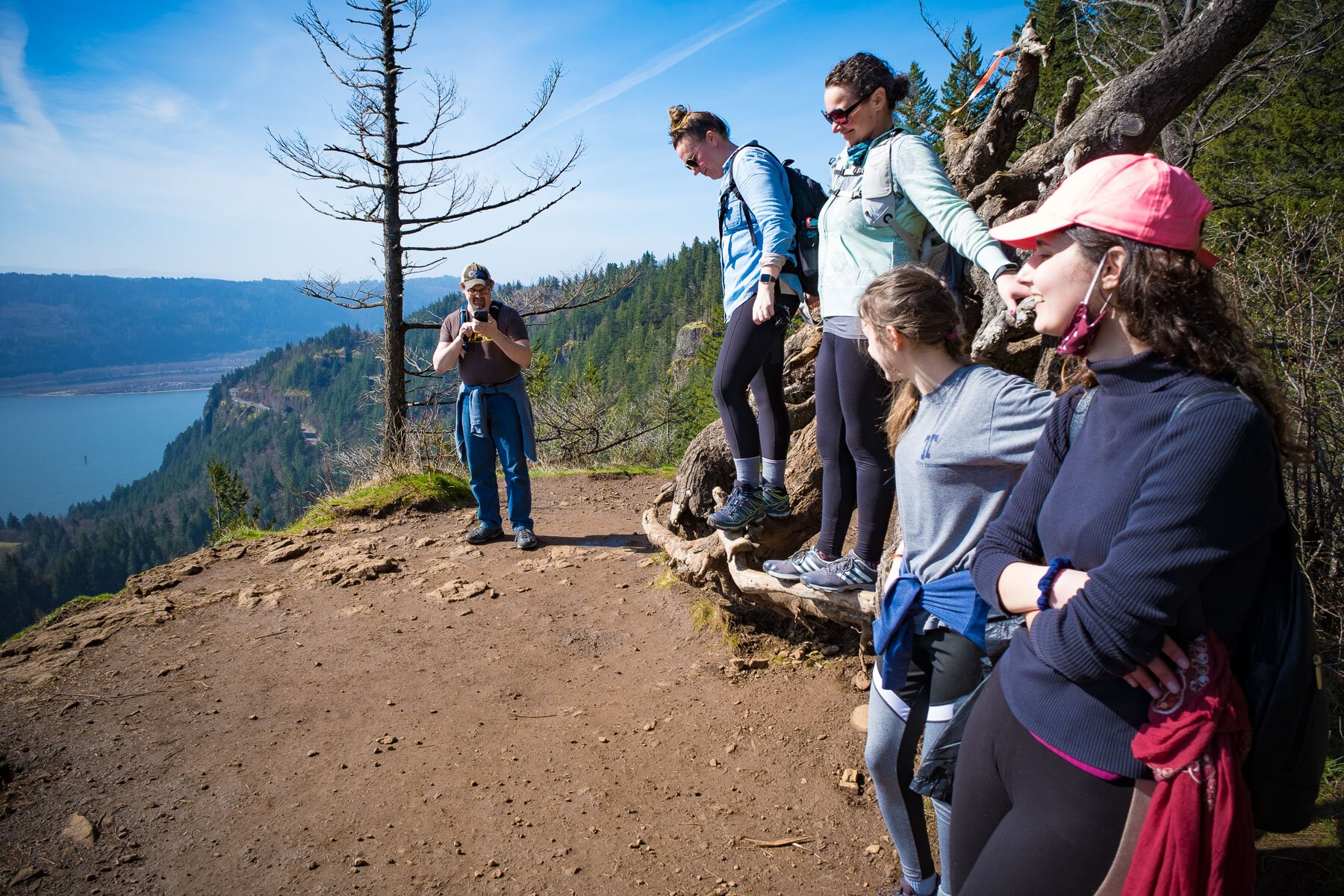
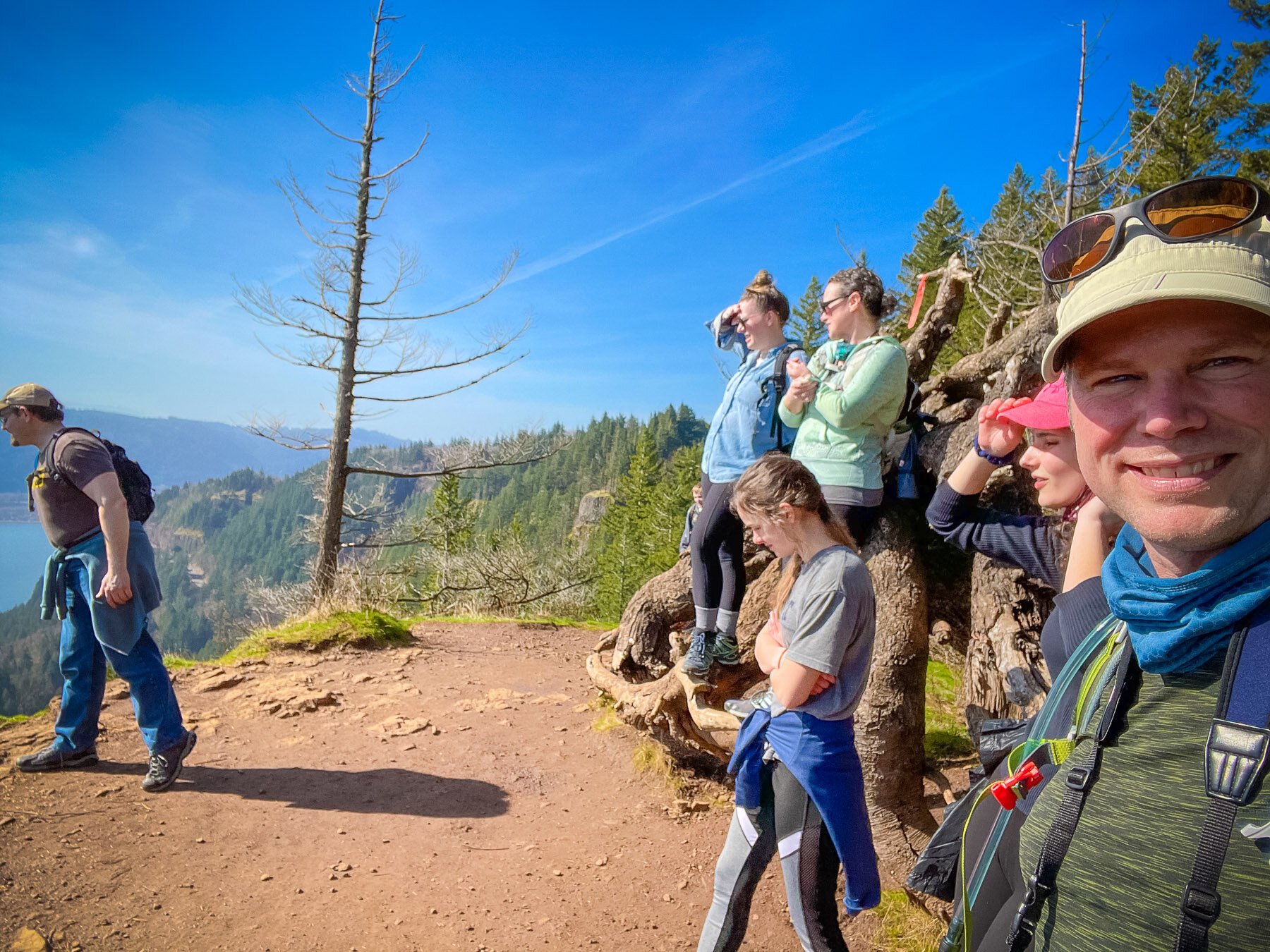
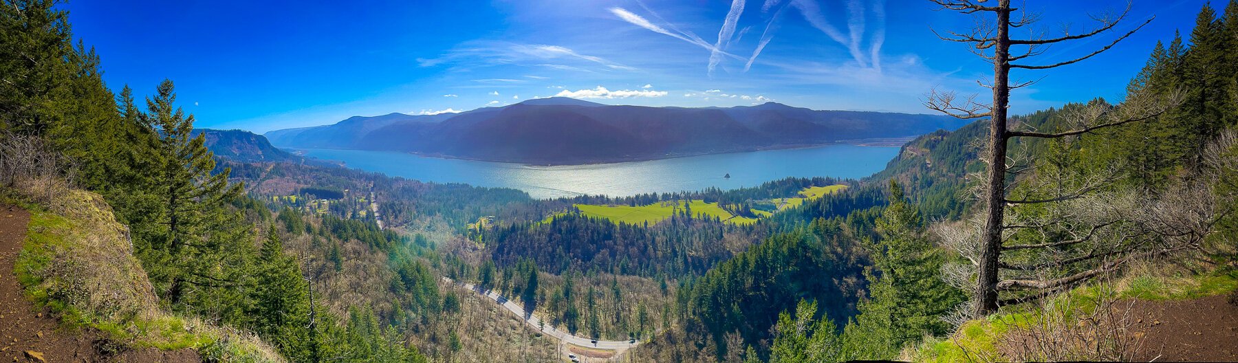
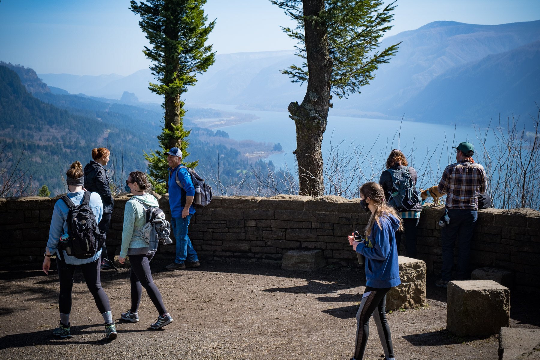
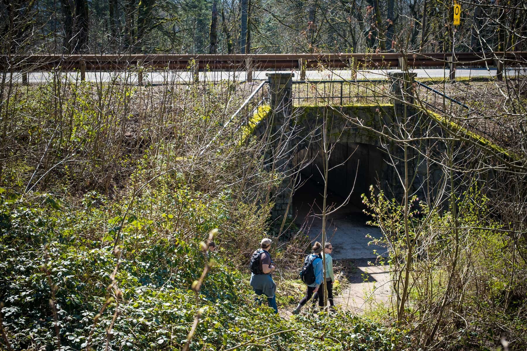
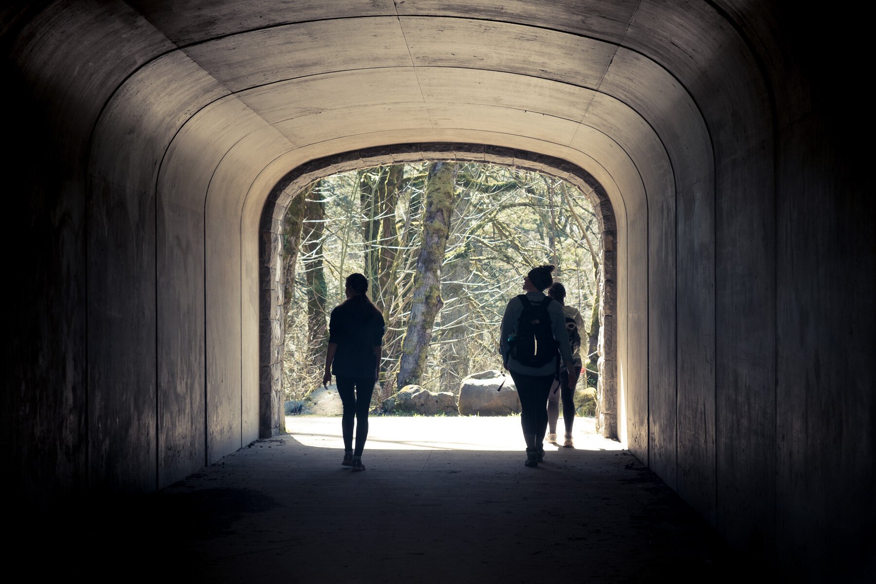
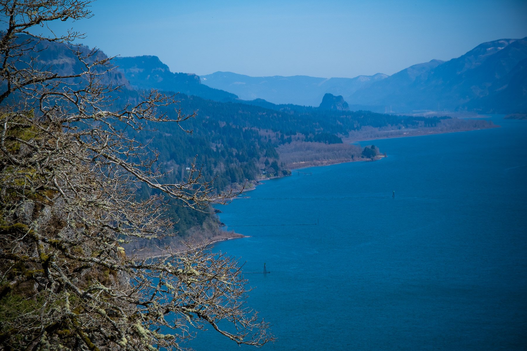
Before long we came upon a farm and Strunk Road with its own parking lot. This is a great alternative to the more busy trailhead. Just a short walk from here is the Nancy Russell overlook which apparently is a well known place to get some scenic wedding portraits (judging from the bride we saw). We debated whether or not to continue, knowing we’d have a sharp descent down switchbacks before we met with Highway 14 again. But after consulting with a few others who had already been down and back, we determined to press on this lovely Saturday. What’s a few more miles on a lovely day?
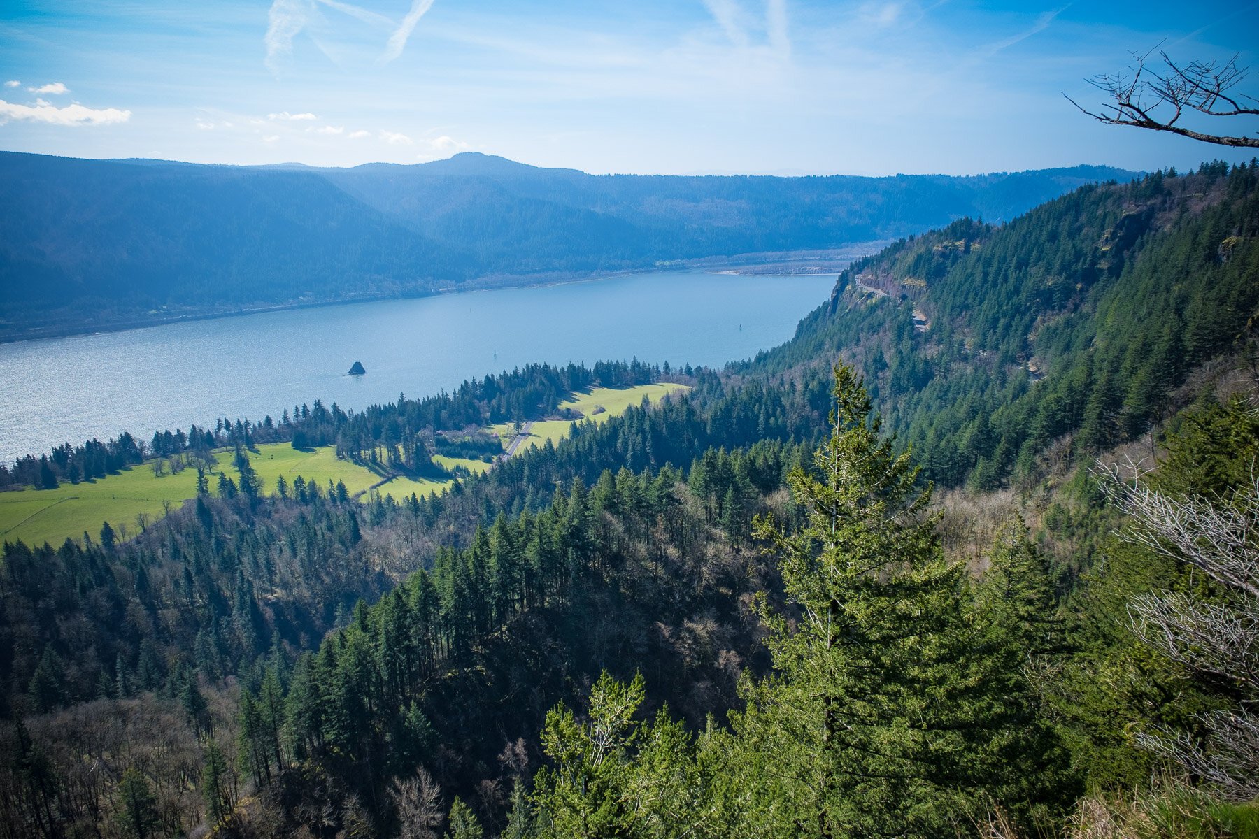
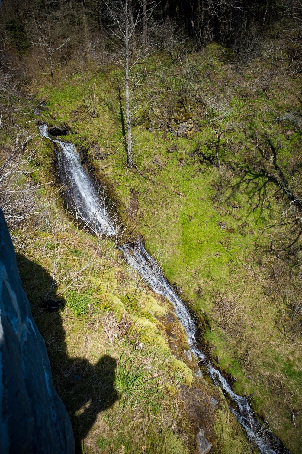
Our turnaround point would be the “waterfall” and river’s edge from our bird’s eye view.

With this out and back, my watch recorded 9.9 miles in a bit under 4 hours.